
ZOOM Features:
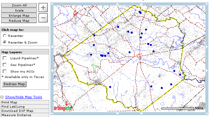
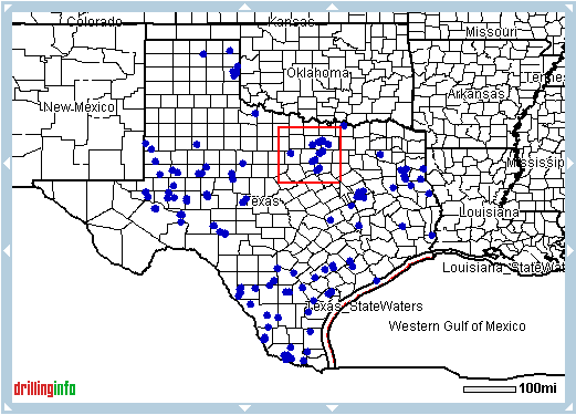
ZOOM ALL - Always brings up the original map returned by your search
SCALE - Allows you to manually enter a desired scale in feet per scale bar
PLUS SIGN (+) - Zooms map in
MINUS SIGNS (-) - Zooms map out
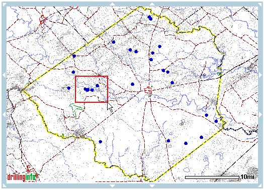
ZOOM BOX:
Allows you to zoom in on the area contained with in the boundaries of the red box.
To use the Zoom Box follow the steps below
Left click on the map, hold and drag to create a red box around your desired zoom area

Release your left mouse button
Map refreshes and zooms to desired area

Recenter or Recenter and Zoom is located to the left side of the map you can choose to:
Recenter - When you choose the Recenter option and click in a map area where there is no colored point (i.e. no well, lease, equipment for sale, etc.) the map will be recentered at that point and the scale will remain unchanged.
Recenter and Zoom - When you choose the Recenter and Zoom option and click in a map area where there is no colored point, the map will be recentered at that point and the map view will zoom in.
MOVE MAP:
You can move the map north, east, south and west by clicking the white arrows located on the blue border surrounding the map
TIPS:
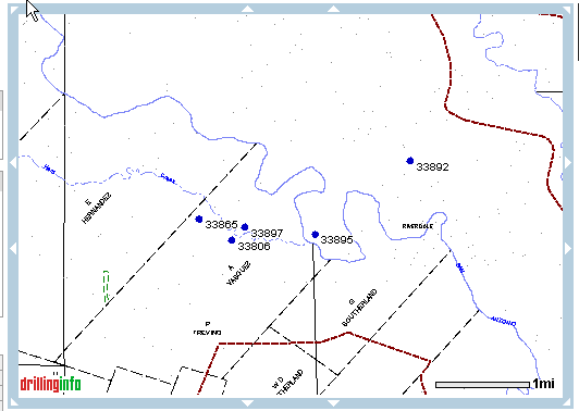
As the map view zooms in, the resolution increases and you will see more detail. However, you will see less geographical area, and thus less data. Your original map view and its data are preserved - just Zoom Out to see them.
After clicking once on the map to increase its resolution, use the scale bar to specify your preferred scale. A scale of 1"=1 mile (5280) will show survey outlines. A scale of 1” = 3750 feet will generate the well symbols.
Use the "Click and Drag" feature to zoom in to an exact area by pointing and holding down your left mouse button while dragging until the red outline is the desired size. See picture below.
