 button located in the Map Tools menu allows
you to view the surrounding roads and highways for any point clicked on
a DrillingInfo map.
button located in the Map Tools menu allows
you to view the surrounding roads and highways for any point clicked on
a DrillingInfo map.The button located in the Map Tools menu allows
you to view the surrounding roads and highways for any point clicked on
a DrillingInfo map.
To use the  please follow the steps below:
Click the  located to the left of your map
Click a point on your DrillingInfo map

A new Mapquest window should open showing a street map
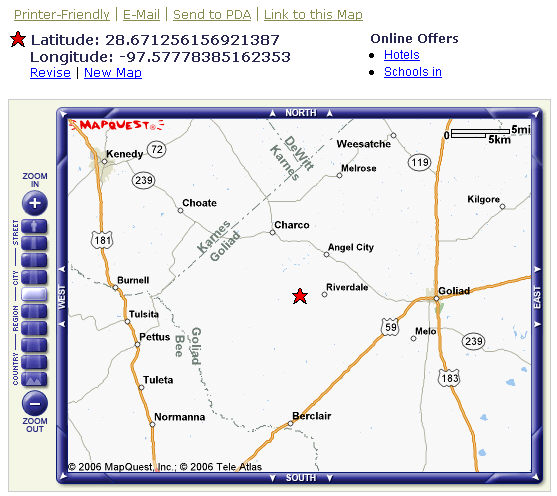
The street map is based on the lat/long point you selected on the DrillingInfo map.